Old maps of Kyiv online: over 7,000 plans and drawings, 1782–1919
The State Archive of Kyiv Oblast has put more than 7,000 maps, plans and drawings of the Kyiv Governorate from 1782–1919 online. You can now browse old maps of Kyiv for free from home, without a trip to the reading room.
What has been digitised: over 7,000 maps and drawings spanning 137 years
The Kyiv Oblast Military Administration announced the news on 16 November. The collection includes master plans of Kyiv, Vasylkiv, Berdychiv, Skvyra, Uman and other towns, drawings of architectural landmarks, road and bridge designs, and land plot plans with boundaries.
In the archive, this is Fond 1542, "Collection of Maps and Drawings of the Kyiv Governorate": over 7,000 images in 3,063 files. A single file can contain several sheets, which is why the numbers differ.
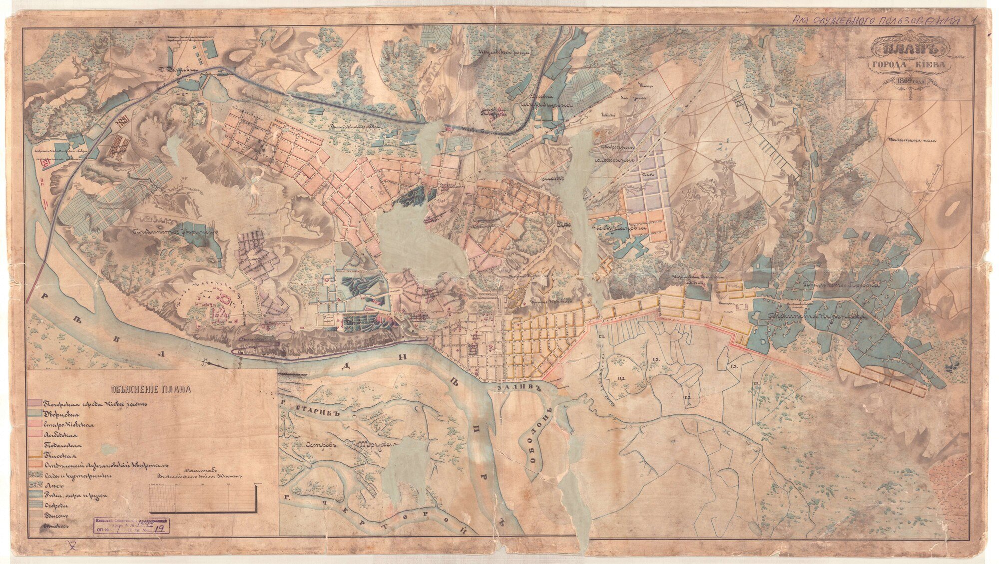
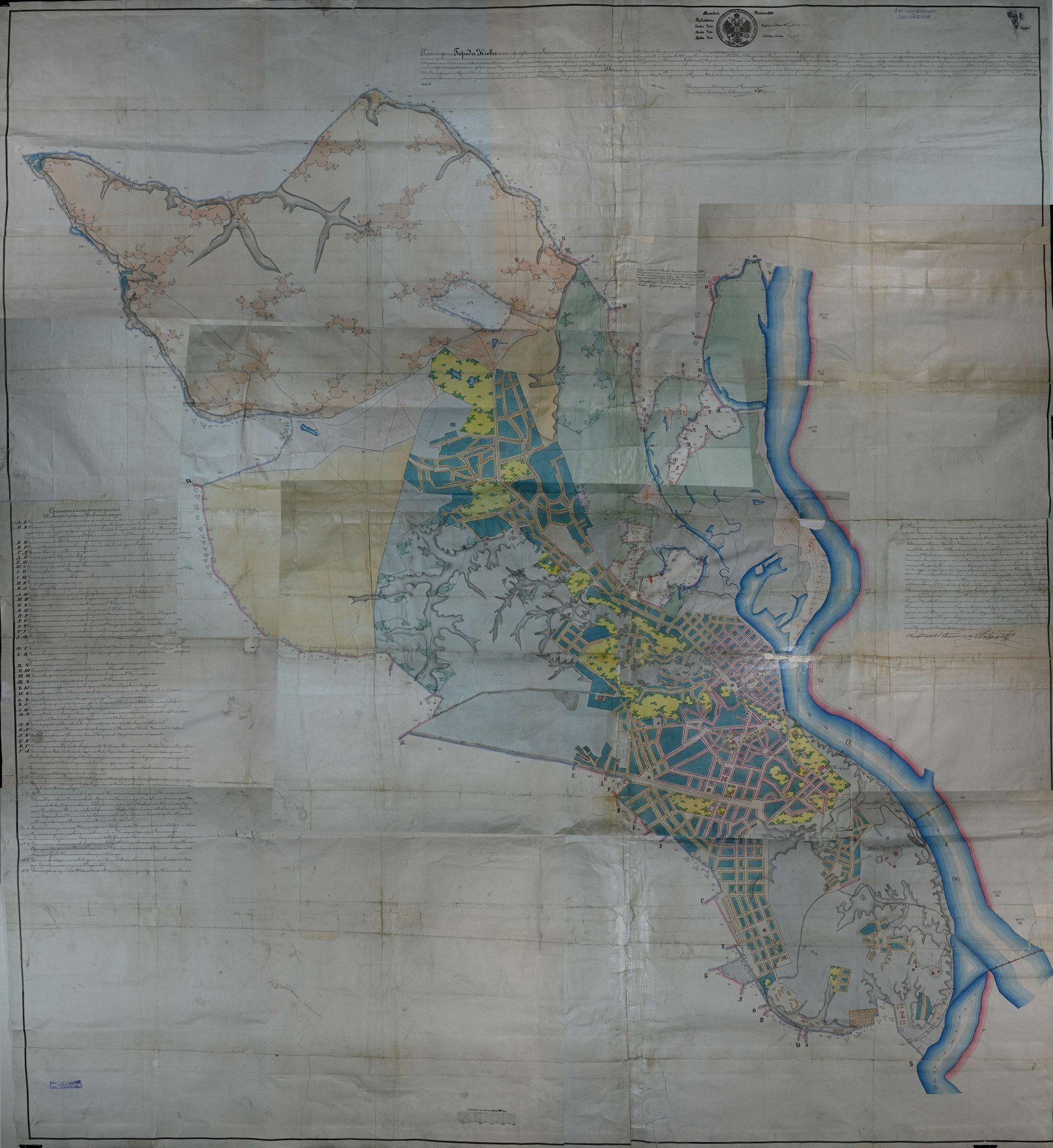
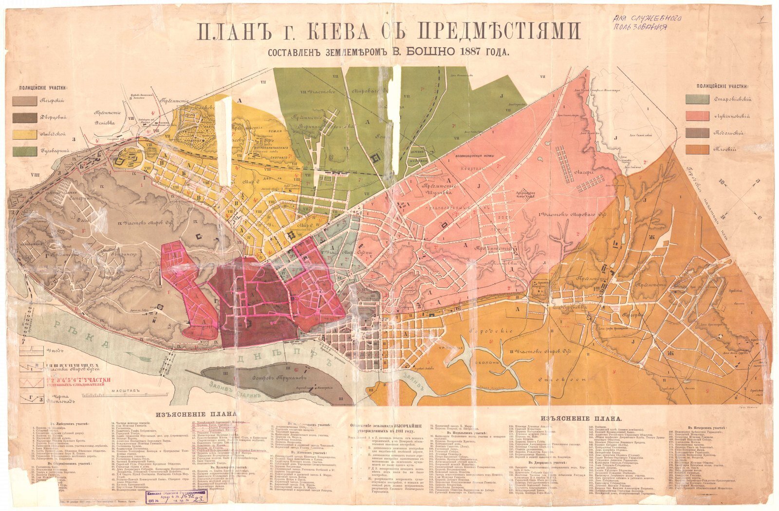
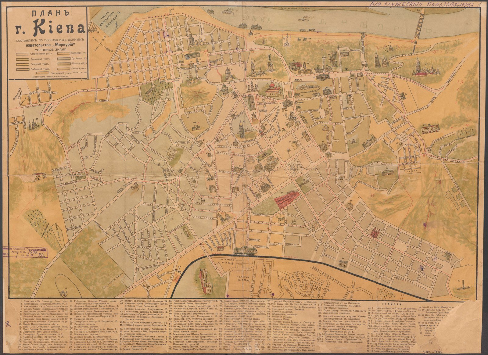
The main photo shows the 1869 plan of Kyiv; the gallery features city plans from 1880, 1887 and 1914, all from fond 1542 of the State Archive of Kyiv Oblast.
Old maps of Kyiv: Podil, Lukianivka, Pechersk and Sviatoshyn in the archive
The easiest place to start is Podil. There's an 1837 plan of the block between Kyrylivska, Kostiantynivska, Vvedenska and Obolonska streets — handy for comparing with how the area looks today, for example around Kontraktova Square.
What else is worth looking for:
- a fragment of an 1852 plan of Lukianivka;
- designs for standard single-storey wooden houses in the Pechersk district, 1853;
- a plan of the stone shops on Halytska Bazaar Square, 1903;
- a plan of a sanatorium for officers with nervous disorders in Sviatoshyn, 1919;
- an 1869 plan of Kyiv.
The collection also holds plans of other neighbourhoods, including Demiivka.
How to find a plan of your street: step by step in E-archive and ARCHIUM
The documents are available on the State Archive of Kyiv Oblast's E-archive platform and on the inter-archival portal ARCHIUM. All you need is a browser.
In E-archive, choose the period "До 1917" (Before 1917) and click "Розпочнемо!" (Let's start!). On the "Фонди" (Fonds) page, find Fond 1542 using the search field in the table and click its name. Then go to the inventory, open the "ЦФК" section (digital copy fund) and pick a file by its title — the scans will open on screen.
In ARCHIUM, you can find the fond via "Путівник" (Guide) in the section on fonds of early records, or by searching for the fond number. There's also a separate collection, "Maps of the Kyiv Region, 1795–1935" (Fond 488). If you'd like to see an original, you can order it by its fond–inventory–file reference in the archive's reading room or online.
Why it matters: restoration and protecting the originals
Almost 60% of the materials were repaired or restored before scanning. Some drawings are nearly three metres long — unfolding one in a reading room isn't easy, but on screen you can examine it section by section.
The digital copies are high-resolution and protect the originals from wear. The project was carried out under the archival digitisation programme approved by the State Archival Service of Ukraine.
An idea for a walk
Open the 1837 plan of Podil on your phone, walk down Andriivskyi Uzviz and wander through the blocks from Kontraktova Square to Kyrylivska Street. Add Poshtova Square and Podil's viewpoints to your route to see the area from above.
Where to look: the State Archive of Kyiv Oblast's E-archive and the ARCHIUM portal, Fond 1542, Inventory 1; free access.
What to look for: plans of Podil, Lukianivka, Pechersk, Sviatoshyn and Halytska Square, and the 1869 plan of Kyiv.
Good for: Kyiv residents curious about the history of their street, local historians, tour guides and anyone who loves old Kyiv.
Main photo and gallery by State Archive of Kyiv Oblast (DAKO)




More articles